Edit Content
Click on the Edit Content button to edit/add the content.
Welcome to Quad-P Aerial

Precise Drone Inspections and Aerial Imaging

Trusted by construction, insurance, solar, and real estate professionals since 2016. Backed by more than 3,000 successful flights. Every project is handled by Kevin Michael Haley – FAA Part 107 certified pilot and Army veteran – with a focus on safety and accuracy.

Inspections

Comprehensive drone inspections for insurance claims, real estate, property managers, and independent requests.

Construction Monitoring

Track site progress with drone flights, maps, and same-angle visuals for clear reporting and oversight.

Aerial Coverage

Specialized imaging for solar farms, golf courses, plant health, and events. Reliable aerial perspectives.

About Quad-P Aerial

Experienced Drone Inspections Led by Proven Expertise

Founded in 2016, Quad-P Aerial provides professional drone inspections and imaging services across Colorado and beyond. The company is led by Kevin Michael Haley, an Army veteran and FAA Part 107 certified pilot with more than 3,000 successful flights completed in the United States, Mexico, and Canada.
Kevin’s experience combines technical precision with safety and professionalism, giving clients accurate, usable results every time.

Over a million flight feet logged with consistent safety record
Specialized in solar farms, golf courses, and turf health
Scheduled progress monitoring tailored to construction timelines
Structured reporting for insurers, adjusters, and property managersency (EASA) – EU

Fully Insured

Protected with $1,000,000 liability coverage for safe and compliant operations.

Industry-Specific Expertise

Specialized in solar farms, golf courses, and turf health inspections.

Owner-Operated Flights

Every project is personally handled by Kevin Michael Haley for consistent quality.

Advanced Equipment

Our Drone Fleet

Photo Quality – Triple Camera System

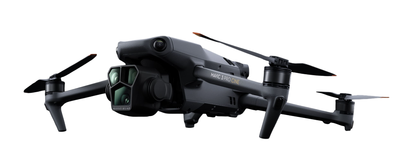
Equipped with a 4/3 CMOS Hasselblad camera plus dual telephoto lenses for unmatched detail and flexibility.

Video Quality – 5.1K @50fps

Records professional-grade video with rich color depth and dynamic range.

Flight Time – Up to 43 min

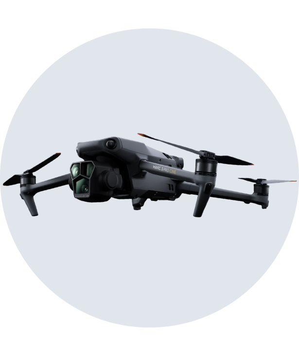
Extended endurance for larger inspections and mapping tasks.

Flight Range – 15 km

Stable long-distance transmission ideal for complex sites.

Photo Quality – 20 MP Hasselblad Camera

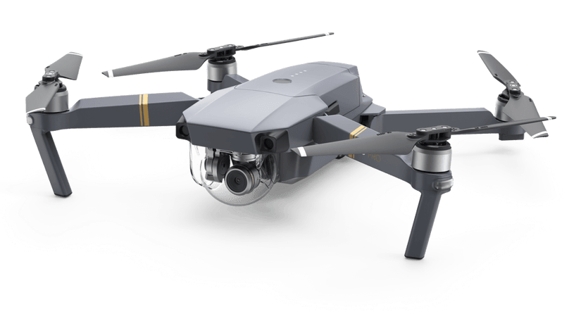
Captures high-resolution aerial images with exceptional color accuracy and clarity.

Video Quality – 4K @30fps

Produces smooth 4K video, reliable for inspections and real estate projects.

Flight Time – Up to 31 min

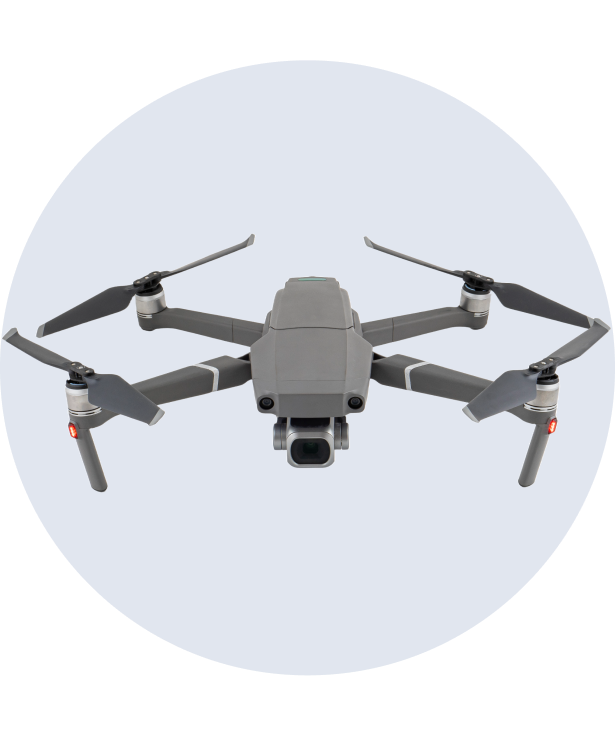
Balanced duration for standard inspection and monitoring flights.

Flight Range – 10 km

Strong transmission range for safe, flexible operations.

MODEL:MAVIC 2 PRO
WEIGHT:907g
HOVERING ACCURACY:
0.1 M VERTICAL – 0.3M HORIZONTAL
MAX SPEED:20 M/S
MAX FLIGHT TIME:31 MINUTES
Photo Quality – 24 MP Super 35 Sensor

Professional-grade stills with exceptional detail and infrared capability for advanced imaging and analysis.

Video Quality – 6K CinemaDNG / 5.2K Apple ProRes

Captures ultra-high-definition footage with infrared visualization for precision monitoring and cinematic clarity.

Flight Time – Up to 18 min

Optimized for power-intensive payloads like the X7; ideal for focused inspection or mapping missions.

Flight Range – 5 km

Reliable transmission range for controlled operations and close-range surveying.

latest project

Quad-P Projects

Lorem ipsum 1

AERIAL PHOTOGRAPHY - OCTOBER 19, 2024

Stunning aerial shots capturing the grandeur and excitement of luxury yachts in action

why choose us

Guided By Safety, Accuracy, and Practical Outcomes

State-of-the-Art Equipment

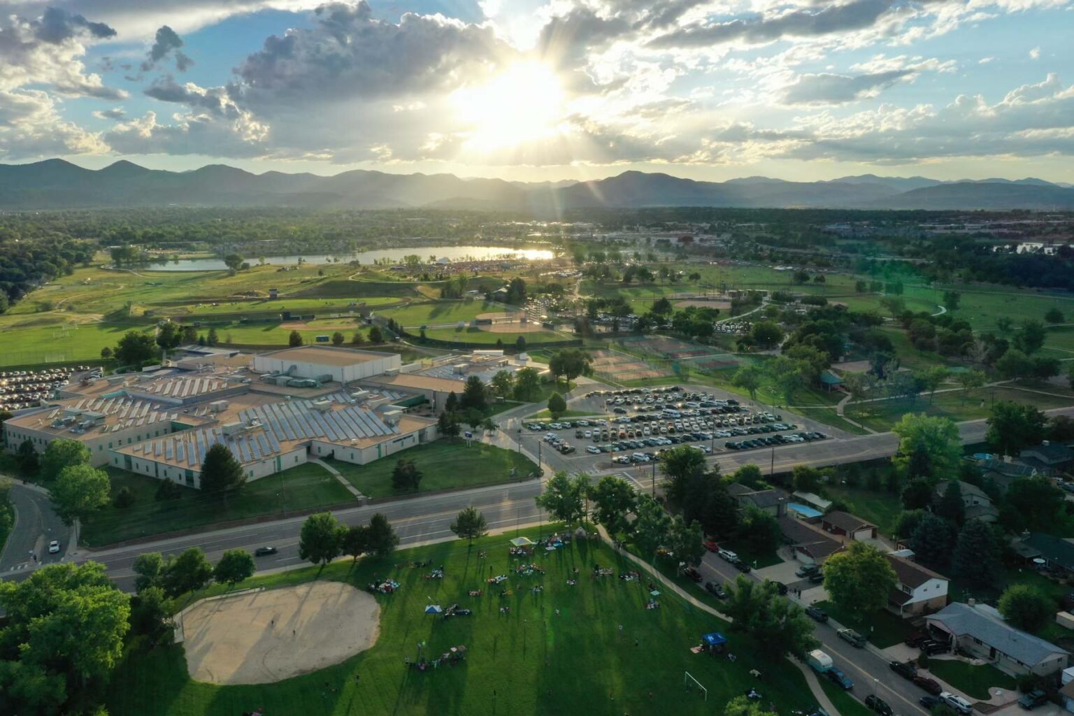
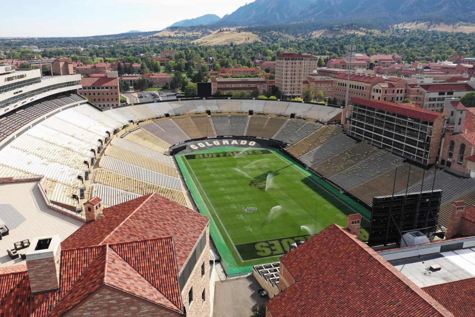
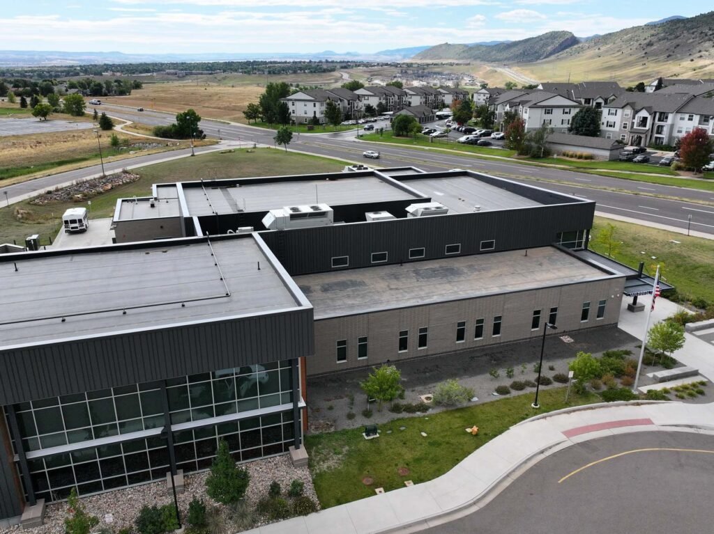
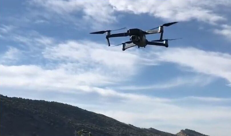
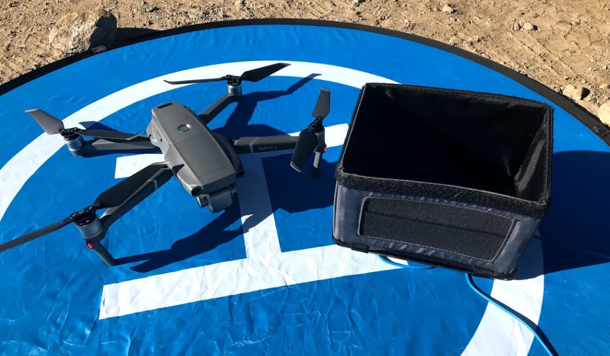
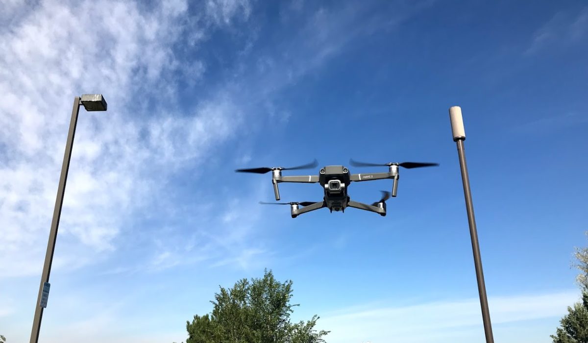
Flying with DJI Mavic 3 Pro, Mavic 2 Pro, and Mavic Pro, we deliver high-resolution imaging, extended flight times, and reliable data collection.

Industry-Specific Knowledge

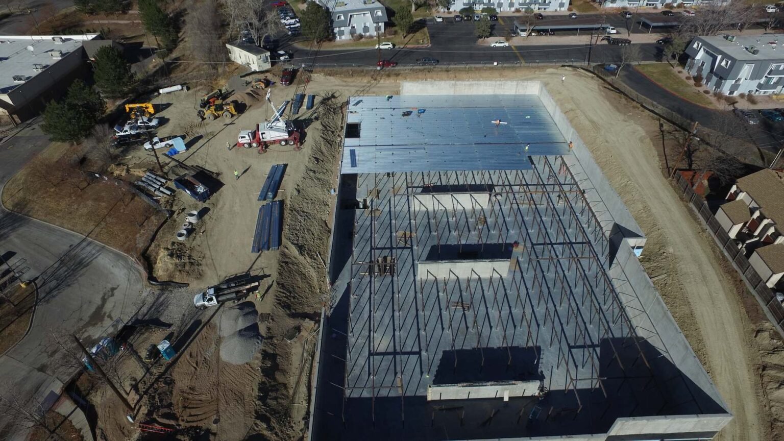
Specialized in solar farms, golf courses, turf health, and inspection services for insurers, adjusters, and property managers.

Actionable Deliverables

Clients receive structured reports, annotated photos, and clear documentation designed for decision-making, not just raw footage.

Consistency and Accountability

Owner-operated service ensures one point of contact from planning through delivery, with accountability at every stage.

Quad-P Aerial combines certified piloting expertise with industry-focused knowledge to deliver results clients can use with confidence.

our gallery

Quad-P Shots

Elevate Your Perspective with Our Captivating Aerial Gallery – Stunning Views from Above

Dive into a collection of mesmerizing aerial shots, featuring breathtaking landscapes, dynamic cityscapes, and architectural wonders, all captured with the latest drone technology for stunning clarity and detail

Aerial Shots Captured
0 K+
Hours of Flight Time
0 K+
pricing plan

Skydrone Pricing

Aerial Photography

Capture breathtaking aerial shots with high-quality photography

START FROM

$200

/project

Includes:

Aerial Videography

Create cinematic drone videos with high-resolution 4K footage for any use

START FROM

$325

/project

Includes:

Live Mapping

Generate accurate aerial maps and 3D models using drone imaging tools

START FROM

$245

/project

Includes:
our teams

Skydrone Pilots

Michael Carter

Lead Drone Pilot

Aerial Photography
90%
Aerial Videography
80%
Live Mapping
100%
Daniel Foster

Aerial Cinematographer

Aerial Photography
70%
Aerial Videography
98%
Live Mapping
80%
Ryan Mitchell

Flight Operations Specialist

Aerial Photography
70%
Aerial Videography
80%
Live Mapping
87%
James Walker

Drone Imaging Expert

Aerial Photography
99%
Aerial Videography
80%
Live Mapping
88%
Testimonials

Client Reviews & Feedback

Contact Us

Schedule Your Drone Inspection

Let’s Get Started

Let’s Get Started. Tell us about your project, whether it’s an inspection, construction site, or event, and we’ll provide the aerial coverage you need.