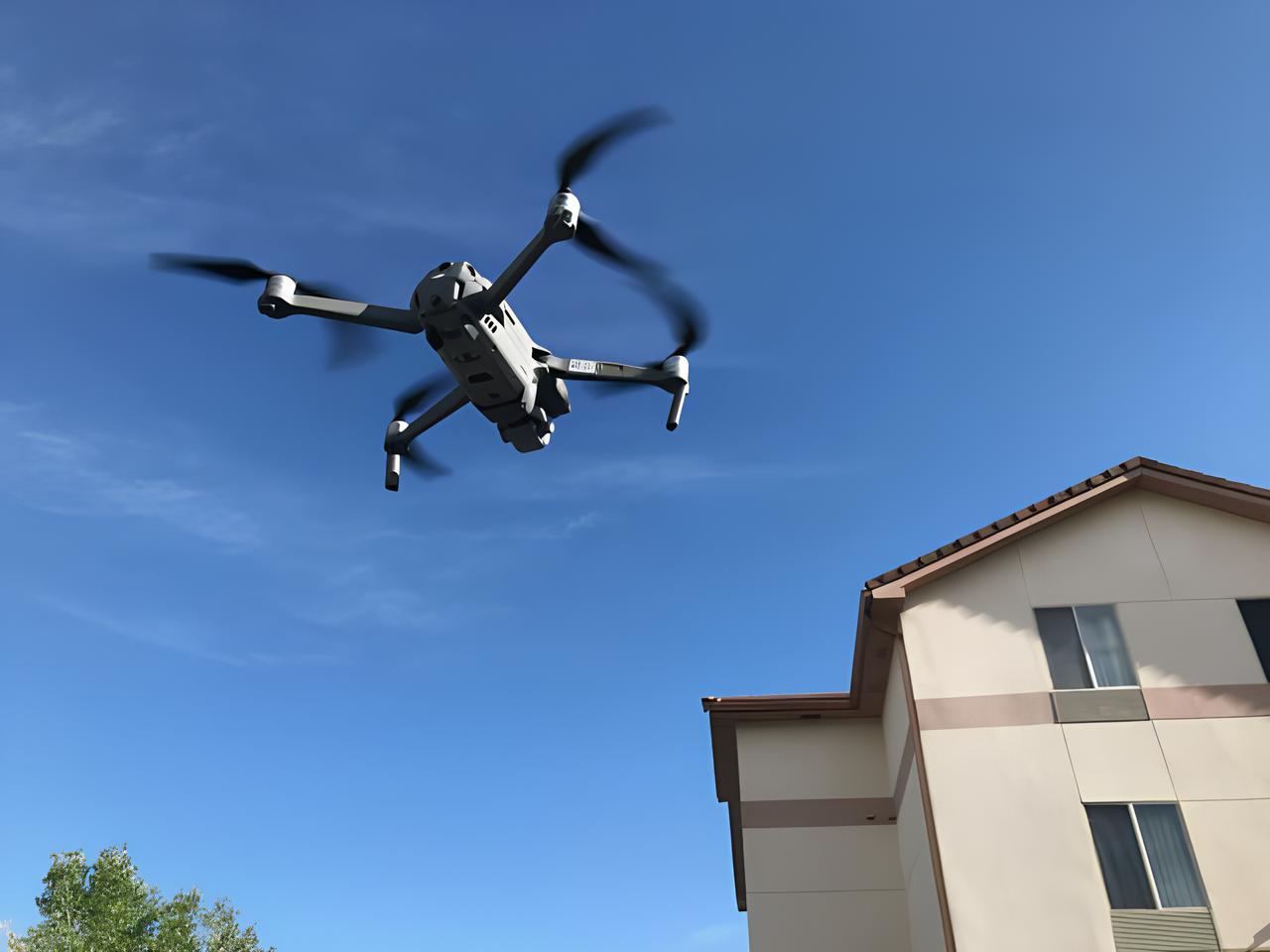

Detailed aerial images for claims and adjusters. Helps document storm damage, roof wear, and problem areas without the risks of manual inspection.

Comprehensive property overviews for both residential and commercial buildings. Useful for pre-purchase due diligence and ongoing asset management.

Visual documentation for property condition before and after tenancy, ensuring transparency and reducing disputes.

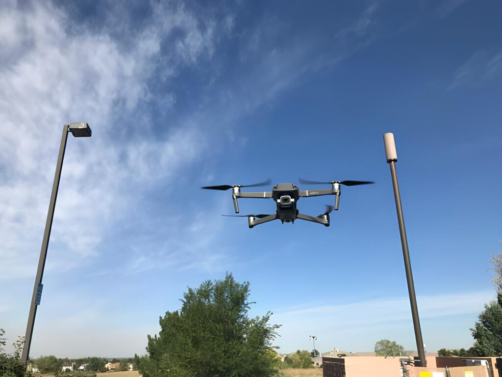
Flexible drone inspections tailored to unique client needs — from large estates to specialized site reviews.
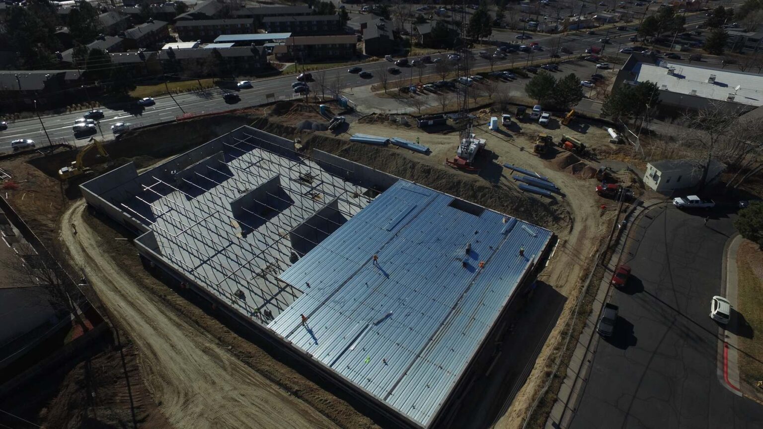
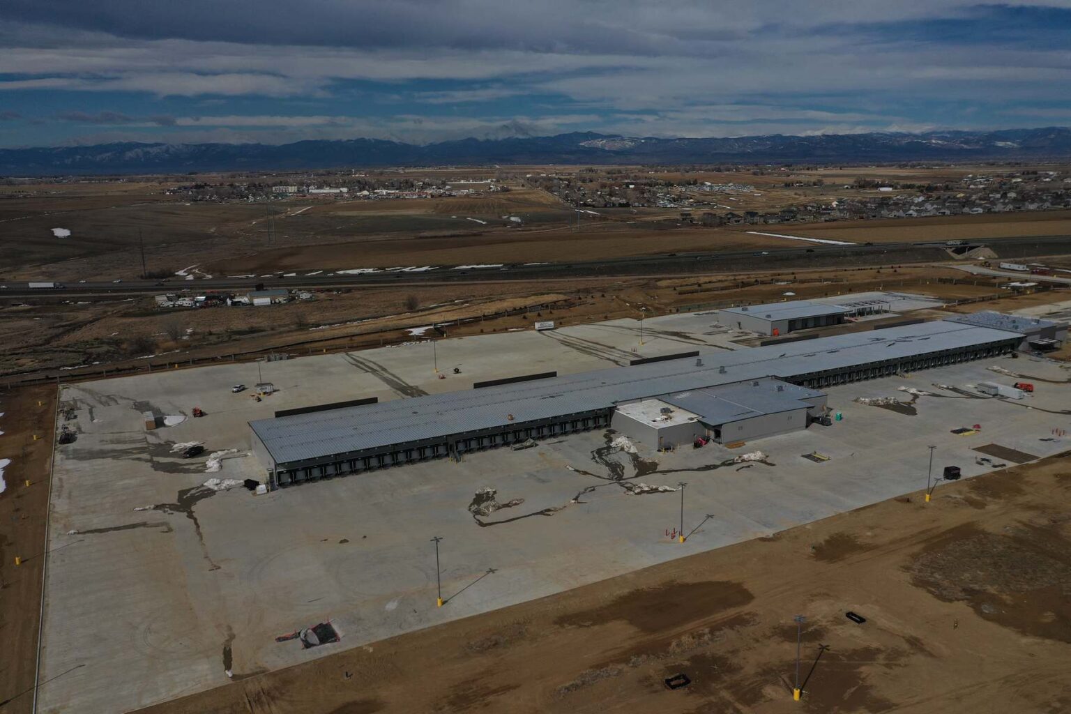
Scheduled flights (weekly, bi-weekly, or monthly) to capture consistent progress over time.
High-resolution stitched maps showing the complete site layout, ideal for comparing stages of development.
Repeatable aerial views from identical vantage points for clear, side-by-side comparisons.
Deliverables formatted for project managers, investors, and clients, ensuring everyone has access to reliable visual updates.


Aerial photography and video that enhance traditional ground coverage, capturing venues, ceremonies, and gatherings from striking perspectives.